
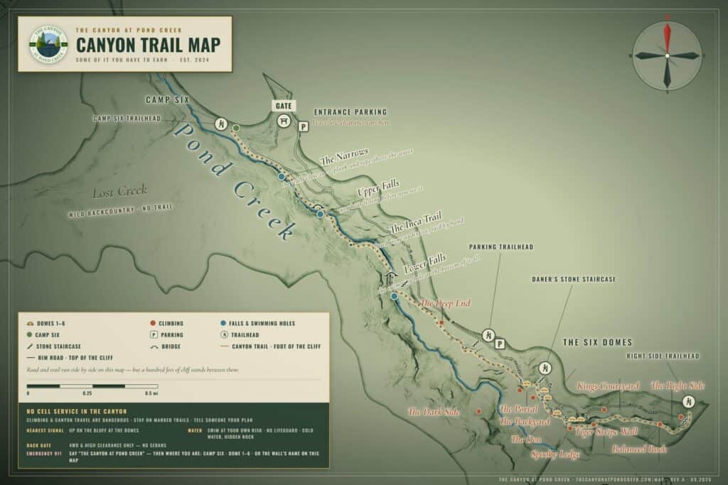
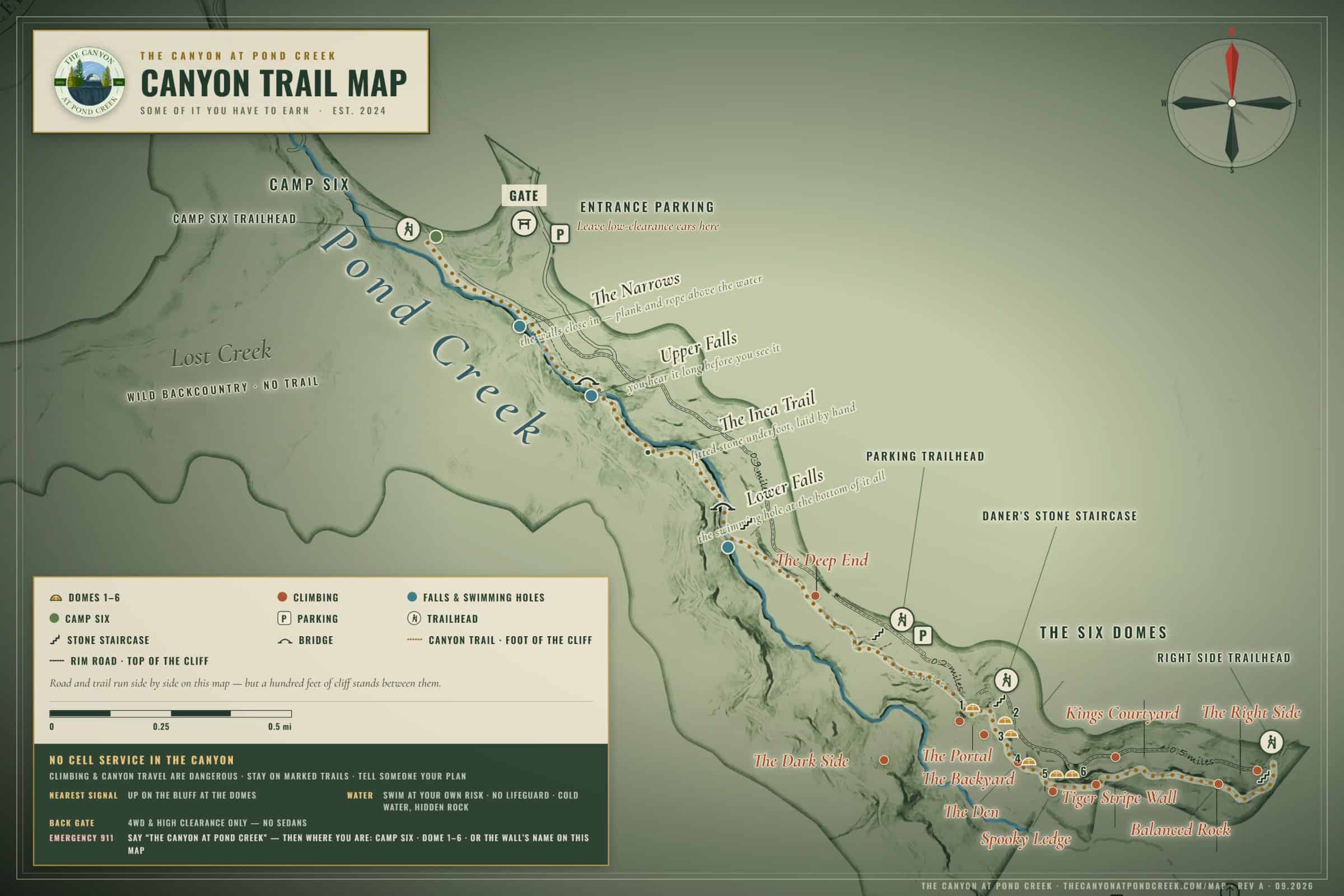
The trails at The Canyon at Pond Creek, on one page. If you scanned this at a trailhead, you’re on the trail system that runs along the base of the cliff, down to two waterfalls, and out to Camp Six. Everything is marked with white diamond blazes.
Before you head down
- There’s no cell service in the canyon. Tell someone where you’re going before you drop in.
- This isn’t a state park trail. It’s rugged and you’ll work for it, but it’s blazed the whole way and you won’t get lost.
- Spooky Ledge is an 80-foot drop with no railing. Do not cross it unless you are rock climbing. It is not OK for kids or dogs. The main trail bypasses Spooky Ledge below it, so follow the signs.
- Pack out everything you bring in.
The Canyon Trail: 2.5 miles, end to end
The trail has four trailheads, so you can walk all of it or just a section. Here it is in order, from the stone staircase near the back gate to Camp Six.
- The cliff base. The trail hugs the bottom of the sandstone cliff, beside 150-plus climbing routes. At times it feels like it’s going nowhere. It isn’t. Keep following the blazes.
- The main staircase, just under a mile in. It sits between Domes 1 and 2. Climb it to get back up to the domes, or keep going straight.
- Joe’s Ladder, a few hundred feet on. A 24-foot ladder bolted into the cliff, up through a gap in the sandstone. If you’d rather skip it, take the bypass: ladder to the right, bypass to the left.
- The Deep End. The quietest, most remote stretch of the canyon. About a quarter mile in, a staircase leads up to the main parking lot if you need a way out.
- The Lower Falls, three quarters of a mile past Joe’s Ladder. A stone staircase drops you to the first waterfall and blue hole. Swim here.
- The Inca Trail. Past the Lower Falls the trail is dirt for a while, then opens into a path of fitted stone, laid by hand and about six feet wide. It’s short, it looks like something out of Peru, and it’s worth slowing down for. Then it’s back to dirt.
- Oivon’s Bridge and the Upper Falls, a third of a mile along the river. The biggest waterfall on the property and the deepest blue hole.
- Stone the rest of the way. From the Upper Falls to Camp Six the path is laid stone the whole way, narrowing to about 18 inches.
- The Narrows. Near the end, the walls close in: a plank walkway along a small cliff face above the water, with a rope bolted to the rock for balance. Then cross the wooden bridge.
- Camp Six, 2.5 miles in. End of the trail. Look for the picnic table.
Getting back
From Camp Six, either retrace your steps or follow the road up and to the left to the main road. The road is a little faster.
The short loop from the domes
From the bottom of the dome stairs out to the back stairs and home again is about 1.2 miles. The first 0.6 miles is nearly flat. There’s one real climb, about 200 feet up the back stairs, then the trail follows the upper bench home. Signs mark the way.
The climbing
The cliff beside the trail is Pond Creek Crag: 150-plus routes on Cumberland sandstone, from 5.6 to 5.14, mostly steep sport climbing with some trad. Route-by-route descriptions, grades and topos are on Mountain Project.
The domes
Six domes sit on the rim above the cliff, each with its own hot tub and a view across the canyon. The main staircase between Domes 1 and 2 connects them to the trail below. See the domes and book a stay.
Dome 1Dome 2Dome 3Dome 4Dome 5Dome 6
More
- Climbing at Pond Creek Crag: 150-plus routes, 5.6 to 5.14.
- Camp Six: primitive tent sites at the end of the trail.
- Give back: help keep the trails, stairs and bridges in shape.
- Stay in a dome at The Canyon.